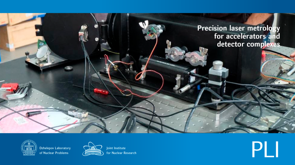
Precision laser metrology for accelerators and detector complexes (PLI)
The implementation of the project is aimed at long-term monitoring of the behaviour of the base of the collider (NICA) to track critical design changes that can cause beam deviations from the calculated orbits.
Also, monitoring will make it possible to control angular vibrations of the collider elements from microseismic noise of industrial and natural origin in order to identify sources of noise and frequencies that coincide with the resonant frequencies of the collider elements, which can lead to a decrease in luminosity.
An equally important component of the project is development of a compact inclinometer capable of measuring changes in the angles of inclination of the surface with an accuracy of about $10^{-8}$ radians throughout the year, and further, building of a network of such inclinometers in seismic regions to determine energy accumulation zones and potentially seismic areas.
Expected results upon completion of the project:
Creation of a network of small-sized laser inclinometers (MPLIs) for monitoring the behaviour of the base of the collider (NICA) to track critical design changes that can cause beam deviations from the calculated orbits. Creation of a hardware-software complex for synchronization and processing of MPLI data. Creation of software for visualization of changes in the position of the Earth's surface under the NICA collider.
Modification of the current MPLIversion for long-term stable operation for 6-12 months with angular measurements accuracy of $10^{-7}$ rad at remote geodetic points, powered by solar panels.
R&D on a new version of the MPLI - an interferometric PLI (IPLI), which has a weak temperature dependence and less expensive production based on available components.
Based on the sets of modified MPLIs and IPLIs, carry out deployment of networks to determine the regions of seismic energy accumulation and monitor objects on the territory of Kamchatka, Armenia, Belarus and Uzbekistan.
Create the necessary software for receiving data from the PLI network, online control, visualization of the Earth's surface by a controlled network, algorithms (including machine learning, neural networks) for determining zones of increased accumulation of seismic energy.
Creation of a prototype of an amplitude interferometric length meter for a length of 16 m, creation of a prototype of a laser reference line for a length of 128 m, creation of a prototype of a seismically stabilized research platform, use of compact MPLIs to improve the frequency parameters of the gravitational antennas of the VIRGO detector.